FAYETTEVILLE -- A new program is helping city officials identify problem areas along bicycle routes.
Fayetteville is the only city in the United States that tested it -- and for free.
The city recently wrapped a yearlong trial of the CycleRAP program from international nonprofit iRAP, which stands for International Road Assessment Programme, in London.
Fayetteville was chosen to test the program because of its association with Union Cycliste Internationale, the world governing body for sports cycling that oversees international competitive cycling events. The city hosted the UCI Cyclocross World Championships in January 2022 and has hosted a number of other sanctioned UCI events.
A tool in the toolkit
UCI reached out to Fayetteville officials late last year to ask if they were interested in testing the CycleRAP program, said Brannon Pack, director of cycling tourism for Experience Fayetteville, the city's tourism bureau. The program is still in development. Fayetteville tested the program with four other cities: Barcelona and Madrid in Spain; Bogota, Colombia; and Sao Paulo, Brazil.
Fayetteville was named the first "Bike City" in the United States by UCI in February 2021. The designation recognizes communities for their commitment to developing cycling at all levels, from competitive events to trail networks for recreation and transportation.
City officials rigged an electric bicycle with a GoPro camera on a pole and rode about 50 miles along paved trails and on-street bike lanes to video record routes from February to March. The city has about 54 miles of paved trails, but more miles are designated for bicyclists on streets.
In addition to the video footage, the city collected average daily traffic counts and mean speeds along routes and sent all the information to the people behind the CycleRAP program. Technicians with CycleRAP analyzed the footage and used software to calculate risk scores. CycleRAP assesses risk for four types of crashes: bicycles vs. cars, bicycles vs. bicycles, bicycles vs. pedestrians and standalone bicycle crashes.
"This is much more of a tool for mobility professionals," Pack said. "This is a great tool for us to have a better understanding of the overall risk associated with our existing bicycle network and potential opportunities to improve it."
CycleRAP produced a report for Fayetteville showing low, medium, high and extreme risk areas on a map and recommended actions to take to make the most dangerous areas safer. About 70% of the surveyed area was deemed low or medium risk, with about 10% labeled high risk and 20% considered extreme risk.
The report found seven general areas to be of the highest risk to bicyclists: Rupple Road from Martin Luther King Jr. Boulevard to Mount Comfort Road; Arkansas 112 and Van Asche Drive near Interstate 49; Appleby Road and Rolling Hills Drive; Sycamore Street from the Razorback Greenway to Walnut Avenue; Mission Boulevard from Old Wire Road to Rebecca Street; Maple Street from Razorback Road to Gregg Avenue; and neighborhoods east of Bryce Davis Park.
Most of the risk is created by cars going too fast and not enough delineation between cars and bicycle lanes, according to the report. The city needs to manage car speeds better in those extreme risk areas and have better marking and visibility along cycling routes.
The report also recommended better lighting and putting safety barriers along cycling routes. Installing more traffic-calming measures on streets identified as high or extreme risk would make them safer, the report says.
Useful information
Dane Eifling, the city's mobility coordinator, said the information complements other data the city has about bicycle routes. For instance, the city is taking part in the Northwest Arkansas Regional Planning Commission's Vision Zero plan. The plan uses mostly crash data and some street design factors to identify dangerous areas for bicyclists and pedestrians. CycleRAP uses information Vision Zero does not, and vice versa, he said.
"It's like an eyeball test for the network," Eifling said. "It's reviewing video footage and looking at traffic speed data and making a determination on how safe or not the environment is. When those things match up, it tells a consistent story that this road is not as safe as it could or should be."
Eifling said UCI sponsored Fayetteville's participation in CycleRAP, totaling about $25,000.
The city can use information from CycleRAP and Vision Zero to better its chances for receiving grant money to improve its bicycle network, Eifling said. The city has applied for a $25 million Safe Streets for All grant from the federal government that would pay for 80% of work done to improve bicycle routes on Maple Street, Joyce Boulevard, College Avenue and Gregg Avenue. The city should hear next month about whether it was awarded all, some or none of the grant amount, he said.
The city's resident-led Active Transportation Advisory Committee met Wednesday and discussed the findings of the CycleRAP program. It will be able to use the information to make future recommendations to the City Council about improving the city's bicycle network.
The city's participation in CycleRAP has gained national attention. The New York Times published a story about the program in September with Fayetteville as the focal point.
Tristan Hill, Springdale's active transportation coordinator, served for two years as the manager of the Northwest Arkansas Greenway Alliance and praised the potential usefulness of CycleRAP for regional cities outside Fayetteville. The alliance mostly focuses on marketing and promotion for the greenway.
The greenway is generally safe for bicyclists throughout the region, Hill said. Most of the trail network is off-road, making it easier to identify problem areas at intersections with streets, he said.
"We're fortunate that we do have a pretty safe trail network, and it's very usable for any skill level or level of cyclist or walker or runner," Hill said. "But there's always room to improve."
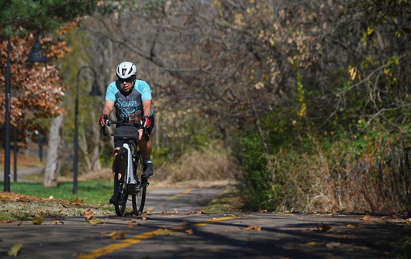
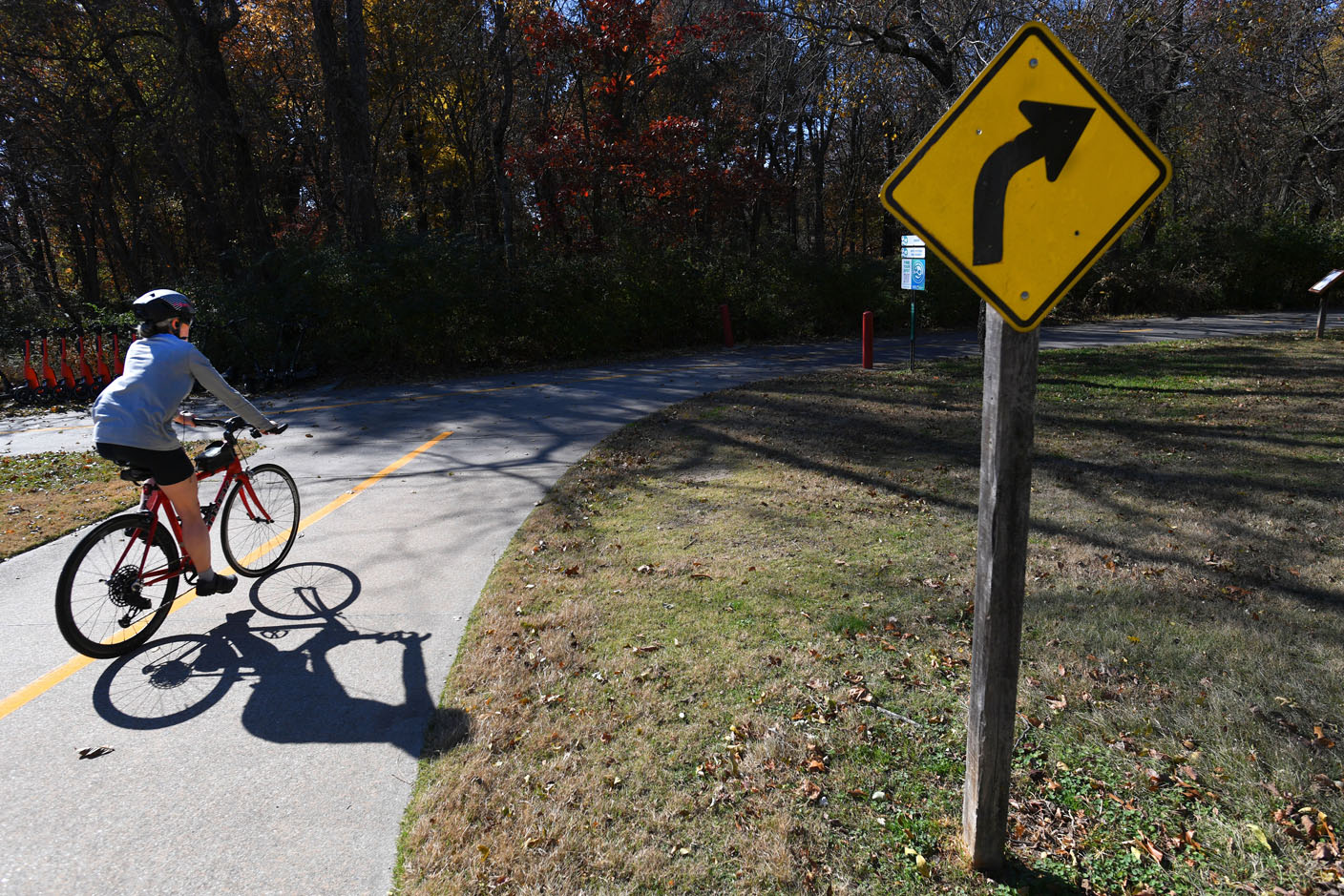 A cyclist rides past a sign Wednesday, Nov. 8, 2023, while traveling through Veterans Memorial Park in Fayetteville. Fayetteville was selected as the only city in the United States to test out the CycleRAP program, which uses photos and data to determine the most dangerous spots on the city’s trail system in terms of potential rider crashes. Visit nwaonline.com/photo for today's photo gallery. (NWA Democrat-Gazette/Andy Shupe)
On the map
Fayetteville submitted data to CycleRAP for the following parts of town:
Appleby Road and Rolling Hills Drive bikeway
Asbell Elementary School neighborhood
Clabber Creek Trail
Maple Street and Razorback Road corridor
Meadow Valley Trail
Connection between Razorback Greenway and Mission Boulevard
Mud Creek and Niokaska Creek trails
Old Wire Road Cycle Track
Razorback Regional Greenway
Rupple Road Sidepath
Salem Road neighborhood bikeway
South Willow Avenue to Walker Park
Spring Street and Washington Avenue neighborhood
Sycamore Street and Ash Street neighborhood
Tsa La Gi and Town Branch trails
West Lafayette Street climbing lane
Source: CycleRAP