The winter weather in Benton and Washington counties tracked farther south and east than originally was forecast earlier in the week, said Karen Hatfield, a meteorologist with the National Weather Service in Tulsa, Okla.
Light rain started to fall in Fayetteville around 12:30 p.m. Saturday, while conditions remained dry in Rogers. Temperatures hovered near freezing.
Benton County's Road Department monitored the weather Saturday afternoon, but had no reports of any road concerns, said Jay Frasier, who oversees the Road Department.
Fayetteville street crews were out at 4. a.m. treating roads in anticipation of bad weather that never formed.
"There was some freezing on windshields for about 10 minutes this morning," Joey Smith, assistant transportation manager for the city, said about 3 p.m. "Then it sprinkled and rained, then it quit. It all tracked south. I think it will be alright."
Danny Straessle, the Arkansas Department of Transportation's public information officer, said Interstate 49 in Benton and Washington counties wasn't impacted by any weather by late Saturday afternoon.
"The Weather Service said from the get-go that the forecast was hard to nail down," Straessle said. "Nothing fell, but we were in good shape. It was just a cold, dreary winter day."
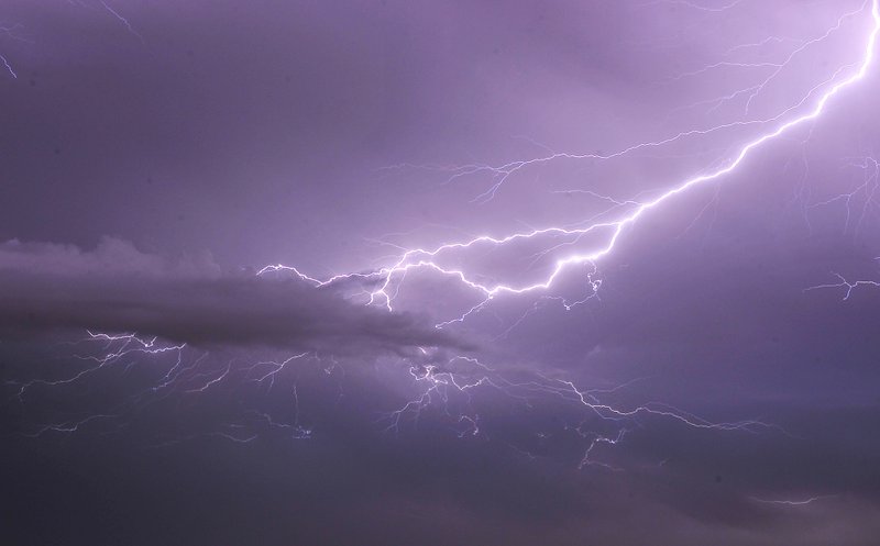
Bands of snow and maybe sleet were expected mostly south of Highway 412 going into early Saturday night, Hatfield said.
Today's forecast calls for decreasing clouds and a high in the lowers 40s, Hatfield said. Temperatures will continue to rise into the start of the work week with highs Monday in the mid-40s and up to the low 50s on Tuesday.
Forecasters said the front pushing through Arkansas on Saturday, dropping large amounts of rain in the state's southern counties, and sleet and snow in the north will be gone by sunrise today, but a cold front on its heels will likely leave ice on some roads.
Flooding in southwest Arkansas closed one state highway Saturday, and some roads in the state's colder northeast were slushy throughout the day.
But all of the precipitation should be over today, meteorologist Joe Goudsward with the National Weather Service's North Little Rock office said.
Multiple stretches of U.S. 65, Arkansas 25 and Arkansas 7 in the north-central portion of the state were partly covered in snow or were slushy late Saturday, the Arkansas Department of Transportation's iDrive road tracker showed.
Also, ice was building up in some areas of North Little Rock late Saturday, weather service meteorologist Willie Gilmore said, but the largest accumulations of Saturday's wintry precipitation was around Newport and Searcy, where 2-4 inches of snow fell.
Temperatures in central Arkansas are expected to rise into the low 40s about midday today, but Gilmore said the lows tonight and on Monday are forecast to be in the low 20s. That means that much of the standing water and any melting snow or ice will freeze overnight, leaving roads and bridges slick. Gilmore said the temperatures Monday night could drop into the high teens.
Little Rock received about 1½ inches of rain Saturday, Gilmore said.
As for icy roads, Gilmore said late Saturday, "the biggest ice problem will be in the morning. ... Before the sun rises and has a chance to warm some of that up, there's going to be some ice. Those will be the worst travel conditions."
In the state's south, where forecasters had predicted the heaviest amounts of precipitation from the weather front, Gilmore said about 4½ inches of rain had fallen by late Saturday. He said no cities reported flash flooding, however.
"It wasn't a quick, heavy event, which could have caused some flooding," Gilmore said. "But there's going to be a lot of standing water, particularly in the south."
The road tracker said all lanes of Arkansas 134 in Miller County just south of Texarkana were closed because of high water Saturday evening. The closed portion of the highway extended for one mile near Fouke.
A flood warning was in effect late Saturday for a line of cities stretching from Arkadelphia to Camden and to just north of El Dorado, according to the National Weather Service.
Gilmore said central Arkansas will likely see snow flurries early this morning, but probably no more than an inch in total.
"There will be some lingering flurries, but whatever will happen in the next several hours people will wake up to see," Gilmore said Saturday night. "Luckily things are starting to quiet down," he said.
NW News on 12/09/2018