William "Coin" Harvey did a lot of things that we remember locally -- the resort he built, the amphitheater, and his run for president. But one of the most important and least known things he did was to develop one of the first road systems in the U.S. As railroads started to die down because of the coming of the automobile, there was a need for a good road system. We must remember there were no numbered or marked roads at this time. Auto travel was dependent on local information as to the best route.
In 1913, Mr. Harvey got together with others at Monte Ne to discuss a new road system in the four-state area that was well marked. This was the beginning of the Ozark Trails Association. And Mr. Harvey became president of the organization.
Mr. Harvey wrote in 1913: "My personal interest in the Ozark Trails is that they all lead to Monte Ne, where we have a delightful resort in which many who live in the four states are interested." Harvey would say, explaining the O.T.A. to the people of Benton County: "The Ozark Trails is doing a great deal to bring strangers in here from other states and have them see the merits of Arkansas. Once here in their motor cars, they travel to Rogers, Bentonville, Springdale, Fayetteville, and other points to see vast peach and apple orchards and go home with wonderful opinions of Northwest Arkansas. Of course, all the towns we pass through are equally interested in this road proposition, and that gives us cooperation."
The goal of the group was to see that the whole route was completed and marked by 1916. In the same year, a convention was held in Oklahoma City, and the city became the new headquarters of the O.T.A. Conventions were held each year where thousands of delegates would come. The road was to connect to the Santa Fe Trail in the southwest on to St. Louis and Kansas City to the north and northeast. The first 300 miles of the route, of course, started at Monte Ne and were personally marked by Mr. Harvey. Not just any road but only "good roads" would be considered.
The route of the road system would be marked with signs with a white background and green stripes on the top and the bottom, with O. T. (Ozark Trail) marked in the middle of the sign. These would be attached to telephone poles, telegraph poles, rocks, or just trees. When the driver came to an intersection, they would find a pillar, pyramid, or a pole directing them as to where they wanted to go. Many of the pyramids can still be found across the county today. An interesting one of these used was a pyramid (obelisk) kind of like the one Mr. Harvey was planning to build at Monte Ne.
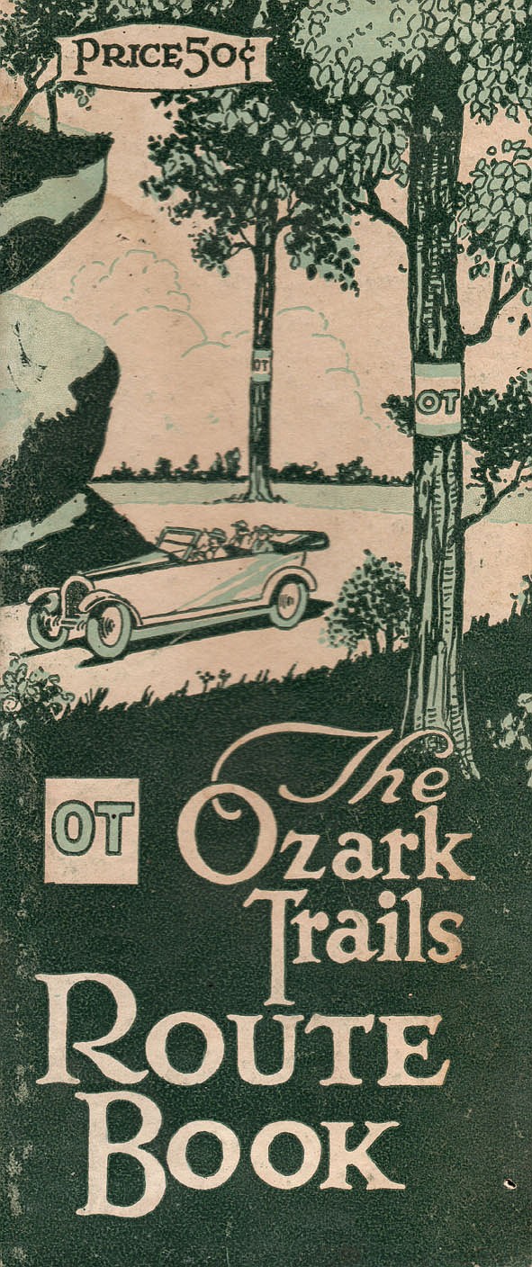
The Ozark Trails Association put out a route book. Only the roads approved would be allowed to be put in the Route Book. This book shows different routes that you could take all over the four-state area. This book was published in 1919, at a cost of 50 cents. If today you were to try to find one of these "The Ozark Trails Route Book," they are very rare and expensive to come by.
The improvements to these roads were not paid for by the government. But funds were raised for the improvements by local Commercial Clubs, which would be in charge of taking care of and marking and maintaining the roads near their town. Members of the association were responsible for paying an annual fee of $5. With payment of the annual fee, you would receive a membership card. These annual fees would cover such details as printing, postage and travel.
Good roads were an advantage to all the towns that would be along the routes because they would bring people to their town. Often there would be a lot of competition among towns wanting the road to go through their towns. The routes they picked didn't tend to flood, and a lot of towns built new bridges to get the route. The roads would still be dirt roads but would be maintained by each community along the way.
The method for making these roads better was usually a split log that was dragged behind a team of horses. This method would smooth out the roads, making it easier to travel without big ruts. They even had competitions with teams of horses competing against each other using this split log method. One such event was held in Rogers.
By the time the organization ceased to exist, it had expanded to seven states, and claimed 6,000 miles of highway from the Great Lakes to the Gulf. By 1926 the O.T.A. started to disappear with the new federal system of roads. Over the years a large part of what was the Ozark Trail route would later become Route 66.
Randy McCrory is part of a group called Vintage Bentonville. The group hosts an online museum for Bentonville/Benton County at vintagebentonville.com. They also host two Facebook pages called Historic Benton County and Vintage Bentonville. Email him at [email protected].
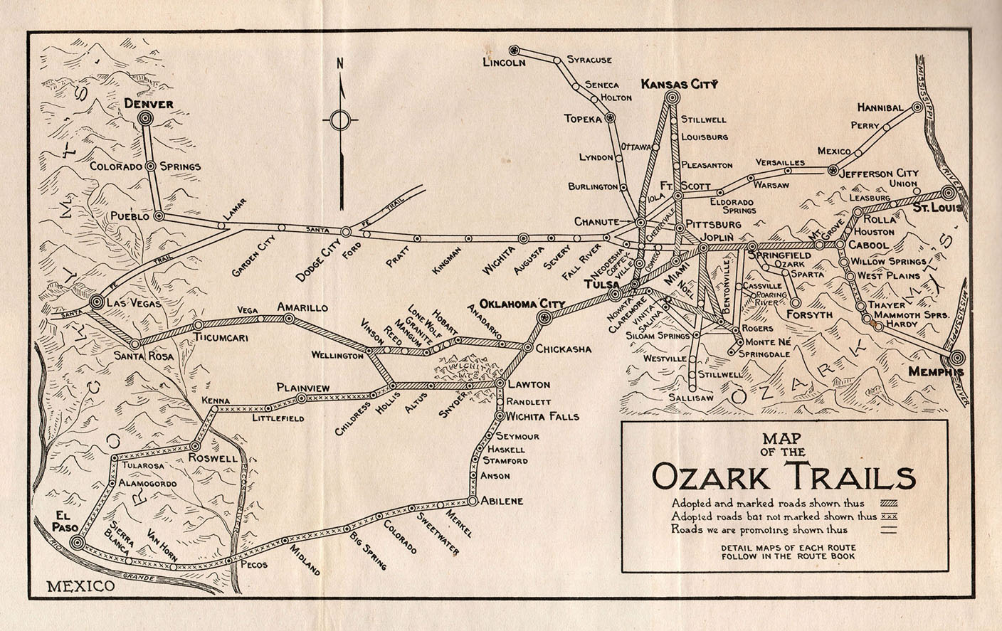 This is the route map out of “The Ozark Trails Route Book” showing the roads that were being maintained as good roads. None of these roads was paved at this time. A lot of the route that was used later became Route 66. (Courtesy Photo/Randy McCrory)
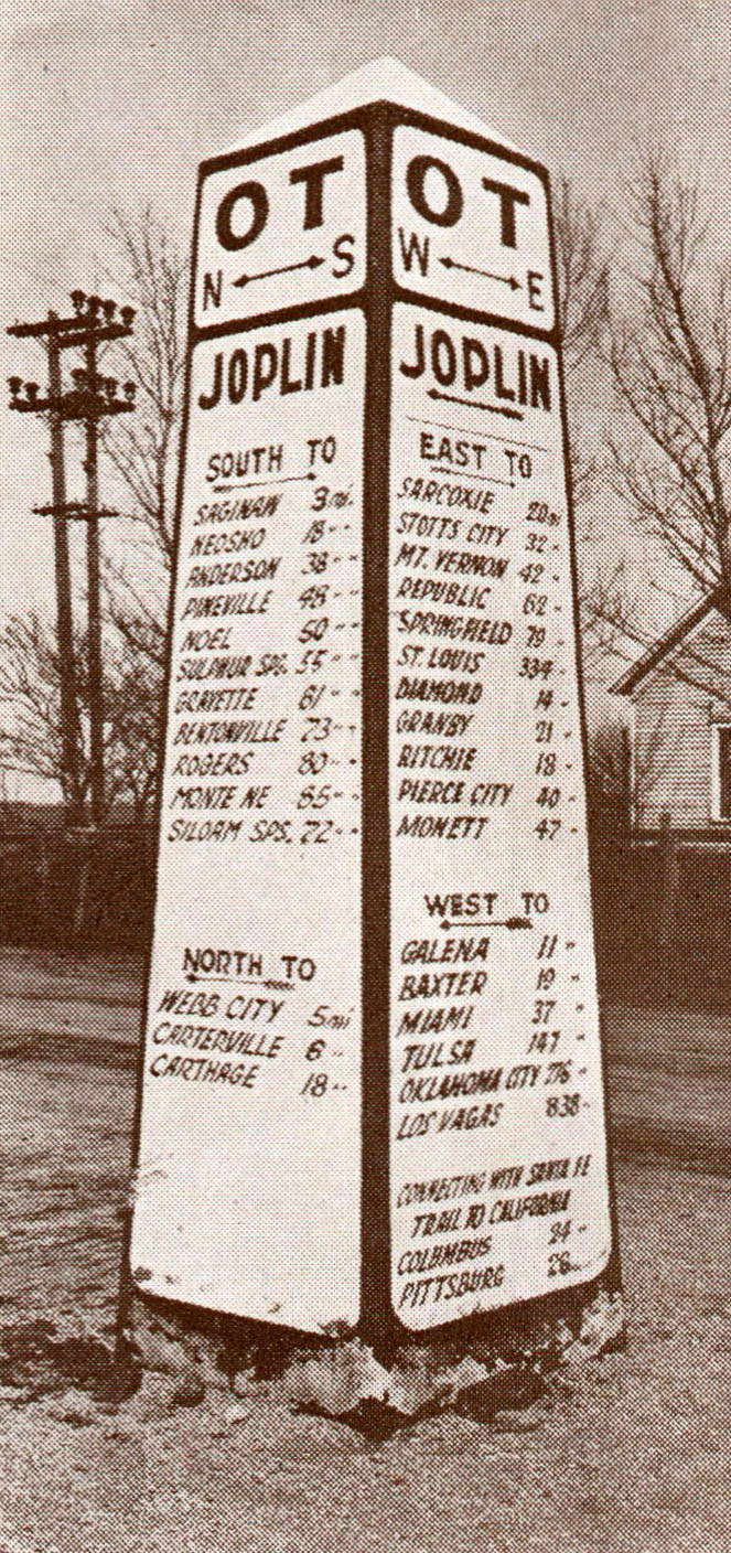 These pyramids were found in the middle of many intersections directing travelers as to which way to go. The one shown was from the Joplin area. (Courtesy Photo/Randy McCrory)
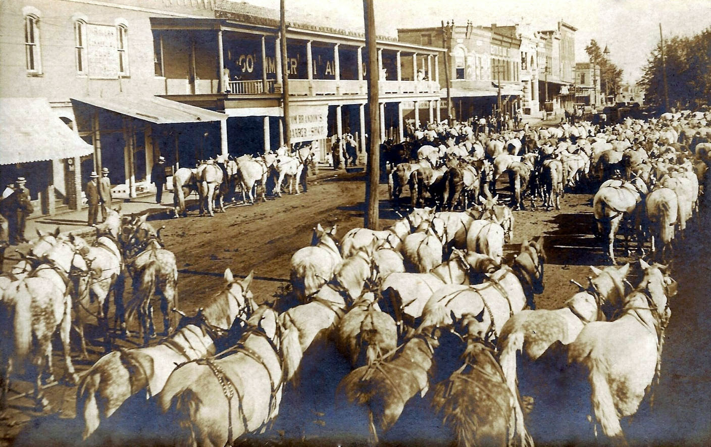 This image was taken in 1913 of a road dragging contest being held in Rogers showing interest being taken in the go roads movement being waged by Benton County. There were 22 teams with split-log road drags in the image. Active road dragging had been done in many part of the county, as a reslt some of the best road in the state could be found around Rogers.
 McCrory