ROGERS -- The Planning Commission approved an update to the city's growth map Tuesday that aims to ease restrictions to mixed-use development.
The largest change from the 2011 version would be in the retail and commercial area immediately east and west of Interstate 49, said City Planner Ethan Hunter. The city expects continuing growth in the area in the next few years.
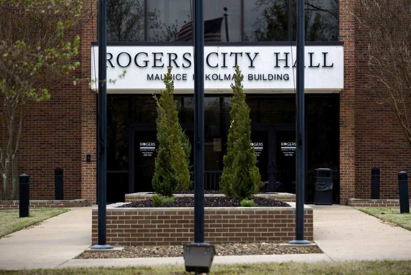
Next meeting
The City Council is set to consider changes to the growth map at its meeting Tuesday.
Source: Staff report
The map guides the city's development decisions. City staff began working on an update earlier this year at the request of the Planning Commission, Hunter said. The new map more clearly defines different areas for zoning, he said.
The city developed the proposed I-49 section of the map to encourage development appealing to people who want to live near commercial areas and modeled the area after its downtown development plan. The downtown plan was created in 2015 and allows mixed uses such as apartments above commercial space.
"We're seeing a trend right now, especially with millennials, where folks don't just want to live in a neighborhood," said John McCurdy, community development director.
"It's an area where apartments can be next to things like a gym or a restaurant. In a typical zone that is not allowed," McCurdy said. "We saw that downtown's code was successful, so we are giving the uptown area the same development code," he added, referring to the interstate area.
Burke Larkin, senior vice president for Whisinvest Realty, said he likes the Planning Commission proposed changes for the I-49 area from standard zoning and thinks it would spur development in the area.
"While it does not affect us because we are already developing in the area, this will be easier for everyone to get higher density and higher quality," Larkin said.
The city chose the interstate area because of its potential to continue to develop and because of the growth the city has already seen with the Walmart Arkansas Music Pavilion and Pinnacle Hills Promenade, Hunter said.
Larkin said he agrees the area has potential and thinks the area is already becoming its own community.
"We took 53 acres and tied all of the development together so it's livable, with multifamily areas, office suites and buildings, retail, restaurants and a little bit of everything you may need," Larkin said of his company.
The city wants to place the area under a form-based code, which would streamline the development process, Hunter said.
"It's predictable for the developers and the public at large of what will be in the area," he said.
The map is not a deciding factor of what building or development goes where, it just provides categories for land use and where it's allocated throughout the city, Hunter said.
NW News on 07/19/2018