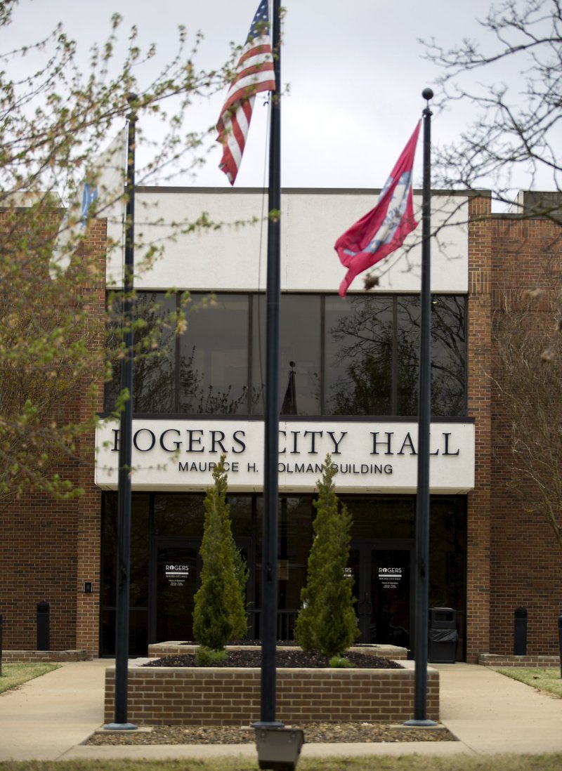
ROGERS -- Residents from the southwest part of the city made a final appeal against rezoning the Mills Family Farm property before the City Council voted to uphold the Planning Commission's approval.
The 188-acres southwest of the intersection of Interstate 49 and Pleasant Grove Road is said to be the largest remaining piece of undeveloped land along I-49. Rezoning changed the property from agricultural to a mix of highway commercial, residential office, residential multifamily at 24 units per acre and residential multifamily at 12 units per acre for rental purposes, which officials said will make it easier to market to buyers. The land's estimated value is $200,000 an acre and $100,000 an acre in buffer zones.
Other action
Rogers’ City Council met Tuesday and approved:
• Spending $6,000 for training for three Police Department dispatch operators.
• Spending $11,000 for a thermal imaging camera for Fire Department from Northern Safety of Tulsa, Okla.
• Adopting standard operating guidelines for the Police Department, which included a policy for a drone program to comply with FAA agreements. Department drones will only be used for crime scene photography, help find lost individuals and natural disaster evaluation.
• Amending City Code to formalize the appeal process for sign permit denial.
• The final plat of the Scissortail subdivision, phase 1.
Source: Staff report
The project went before the Planning Commission twice, with a contentious public hearing at each meeting, before being approved last week.
"We understand it will be developed for the good of city and we're all behind that. We don't expect it to remain farmland," said Scott Robinson, a resident of nearby Silo Falls. "What we've seen on proposals is the real chance that through traffic will increase dramatically. We have a lot of pedestrians, mostly kids, so we're concerned about how that looks."
Robinson said the streets are narrow and not made to support much traffic. The potential for a large apartment complex or commercial buildings in the area will almost certainly lead to a traffic increase and need for safer routes to be established.
"This is a rezone, we can't deal with all those issues" in this meeting, said Mayor Greg Hines. "Those issues will come up with every parcel of this development. This is first bite of apple."
Hines encouraged Robinson and other interested parties to attend future development meetings by the Planning Commission, where those decisions would be made if the property were sold to a developer.
Carrie Overton, another Silo Falls resident, said she and her neighbors were disheartened with the process of making their concerns known to the city. Overton mentioned a petition collecting many signatures from surrounding neighborhoods, which seemed to her to be disregarded, and the dwindling number of protesters at city meetings.
"Whoever does develop this property, I want to make sure they take our concerns into account," Overton said. "I question the appropriateness of having additional apartment complexes in the area. It looks like we have nearly 1,200 apartments within one mile of this location already."
Emily Taylor, a resident of Bellview Estates, asked council members whether studies had been done to determine road safety, to account for alleviating future traffic congestion, and pointed to flooding in the area she feared could be made worse by additional development.
Hines reiterated the City Council was to rule on the rezone and wouldn't make a statement regarding the potential use of the property.
Bill Watkins, attorney representing the Mills Family Farm, assured residents no formal plans for the property have been set.
"It seems to be a forgone conclusion that apartments will start being built in months," Watkins said. "There is no buyer for this property. We don't know when it would be developed. If there were a buyer, we might be in here with a [planned unit development], but that's not the case."
Watkins reminded those in attendance his client revised plans to include more buffer zone to residential areas and nearby churches, as well as a portion of property owned by Rogers schools. He reiterated based on the zoning approved, any potential developer would have to provide a great deal of green space, 50 percent in the residential multifamily zone with 24 units per acre and 30 percent for residential multifamily zone with 12 units per acre. Building heights would also be restricted based on proximity to other residences, Watkins said.
"On a personal basis, the (potential) density is higher than I'd like," said alderman Mark Kruger. "However, looking at request, I don't think we have a choice on what we can do legally."
NW News on 04/26/2017

