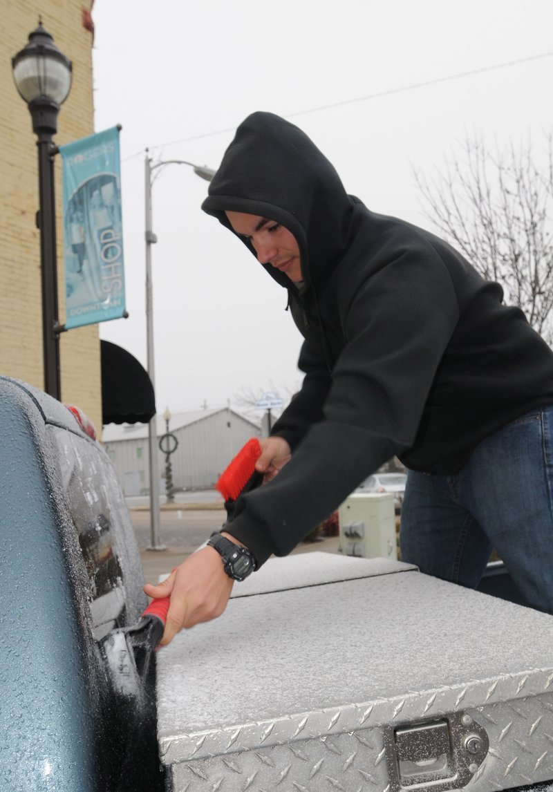
A wave of cold air from the North will clash with moisture over Arkansas tonight and produce what the National Weather Service is calling a "significant snow event" over much of the state.
Forecasters expect rain to begin falling this evening and change to sleet and snow into early Friday. Most of the state is expected to receive at least 1-2 inches of snow. Some areas in southeast Arkansas could get 4 or more inches, said meteorologist Dan Koch of North Little Rock.
"It's going to be significant in southeast Arkansas," he said. "It's been at least 10 years since that area has seen amounts this high.
"I think we are going to see some major travel problems."
Weather services in North Little Rock and Memphis placed the eastern half of Arkansas under a winter-storm watch from 6 p.m. today through Friday afternoon.
Originally, forecasters thought the main snowfall would be farther northeast, but a low pressure system over northern Louisiana and Mississippi dipped into the central regions of the states, pulling more moisture into southeast Arkansas.
Koch said meteorologists have altered their forecasts, moving the heavier bands of snow 100-150 miles farther south than first expected.
Central Arkansas is expected to get 1-2 inches of snow, Koch said.
The system will begin as showers and thunderstorms across the state this afternoon and transition into wintry precipitation, forecasters say. Some areas could see something that's rare in the South -- "thundersnow," which is when snowfall is accompanied by thunder and lightning.
The Arkansas Highway and Transportation Department will pretreat roads and move salt to areas where the snowfall and icing are expected to be the worst, said Krista Sides, a Highway Department spokesman.
The department gets detailed, county-by-county forecasts from the National Weather Service and tailors its treatment plans based on those forecasts, Sides said.
"It's going to start out as rain, and that washes salt brine off the roads," Sides said. "It makes it more difficult to treat. In some areas, we will have to spray salt pellets."
In eastern Arkansas, the wind is expected to reach 25-30 mph this evening, said National Weather Service meteorologist Zach Maye of Memphis.
"We're going to get gusty winds, freezing rain, snow and reduced visibility," Maye said. "It's not going to be good."
Tonight's storm will be the second to strike the area this week.
Freezing rain fell in northeast Arkansas on Tuesday evening and early Wednesday, making roads slick.
Twelve cars slid off U.S. 49 just east of Jonesboro early Wednesday, forcing the Highway Department to close a section of the road for 30 minutes while workers cleared away the vehicles, said Jonesboro E911 Director Jeff Presley.
Police also reported accidents on U.S. 63, Arkansas 1, Arkansas 91 and Arkansas 163 in Craighead County, Presley said.
Area schools closed for the day because of icy roads. Arkansas State University in Jonesboro opened late.
Todd Loveless of Jonesboro said roads were slippery at 7 a.m. Wednesday as he drove to work at Gilbert Truck Parks on U.S. 49 near Brookland, about 8 miles north of Jonesboro.
"I was coming in and saw I would be stuck in traffic on U.S. 49," Loveless said. "I came around a back way, but the road was still really slick. It got worse the further I went."
Walter McMillan, director of the Highway Department's northeast division in Paragould, said his workers pretreated roads Tuesday in anticipation of the icing. The worst of the icing was in Clay, Randolph, Lawrence and Greene counties, he said.
He said crews also would salt roads late Wednesday and again today.
"We're getting another round, but this time it should be more snow than ice," McMillan said. "That's easier to work with."
Highway crews in Batesville moved salt from a Newport facility to other areas in the district Wednesday, said Lyndall Waits, director of the Highway Department's division in Batesville.
"We are prepared to work it," Waits said. "We dealt with it Wednesday, and it's not going to be nice to us again. [Today] has me a little worried."
Koch said temperatures are expected to rise to the lower 40s Saturday and reach 50 degrees Sunday, so any snowfall should melt by then.
A Section on 01/21/2016