The rain-swollen Mississippi River crested Wednesday near Osceola at almost 12 feet above flood stage, but a Mississippi County official said the floodwaters caused little damage because they were contained within the river's levee system.
"As long as it stays on the other side of the levee we're good," said Joseph Richmond, the emergency management coordinator for Mississippi County. "But it's a headache for the farmers."
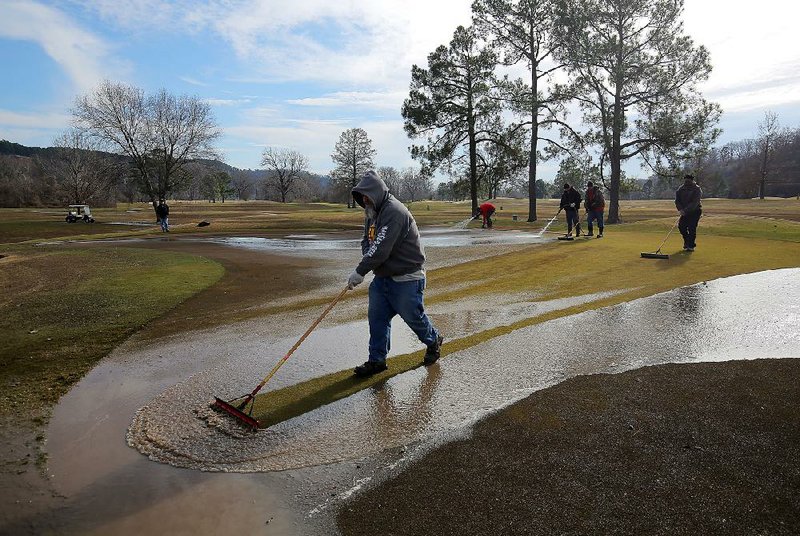
Richmond said most farmers probably haven't planted any crops yet, so little damage is likely.
"That's usually more of an issue in spring," he said. "There might be some farmers who have winter wheat planted."
Richmond said he knows of no permanent residences within the levee system, but there are probably some flooded farm shops in the area.
The Mississippi River crested at 39.6 feet Wednesday at Osceola and should begin to recede today, according to the National Weather Service. Flood stage there is 28 feet.
During the flood of 1937, the Mississippi River rose to 50.9 feet at Osceola, and to 47.48 feet during flooding in 2011.
Richmond said the river would have to rise to about 55 feet before it topped the levee built and maintained by the U.S. Army Corps of Engineers.
"Probably at 51 feet, I'd start packing my bags," he said.
According to the National Weather Service, the river will threaten southeast Arkansas next week as floodwaters surge south from the Midwest and are joined by waters from the Arkansas River.
Major flooding is expected as the river crests at 8.5 feet above flood stage Monday near Arkansas City and 9.5 feet above flood stage Wednesday at Greenville, Miss., which is 22 miles east of Lake Village.
County Judge Mack Ball Jr. of Chicot County said he was worried when predictions were that this flood would be as bad as 2011, but the dire warnings have abated.
"The first prediction was that it would be close to the 2011 flood, which was 64.5 feet," Ball said of the river level near Lake Village.
Now, predictions are that the river will crest at 57.5 feet Wednesday.
"So things are looking better," he said.
At Greenville, the river was at 53.14 feet late Wednesday afternoon.
The river is about 4 miles east of Lake Village as the crow flies, said Ball. Lake Village is the county seat and sits on Lake Chicot, the largest oxbow lake in North America.
Across Arkansas, one-half to 1 inch of rain was predicted from 6 p.m. Wednesday until the same time today, but that isn't enough to cause additional flooding, said Tabitha Clarke, a hydrologist with the National Weather Service in North Little Rock.
"It's not enough to aggravate the situation or make things worse," she said.
John Moore, a meteorologist with the National Weather Service in Memphis, said flood warnings had been issued for points throughout east Arkansas. Major flooding along the Mississippi was predicted only for Osceola, Arkansas City and Greenville, Miss.
Minor to moderate flooding is expected for some locations along the river in the 200 miles between Osceola and Arkansas City, in Desha County.
At Memphis, the river is expected to crest Friday at 40.2 feet, about 6.2 feet aboveflood stage. Built on a bluff, Memphis is somewhat protected from flooding, said Moore. The river at Memphis was 39.2 feet at 6 p.m. Wednesday. The record level at Memphis was 48.7 feet during the 1937 flood.
Jim Pogue, a spokesman for the Corps in Memphis, said a levee 3 miles west of Memphis protects West Memphis and Marion. So when the Mississippi floods, it creates something resembling a lake from Memphis to the levee, he said.
Seventy miles southwest of Memphis in Helena-West Helena, the river rose above flood stage of 44 feet Monday. Minor flooding was occurring, according to the National Weather Service. It is expected to crest Sunday at 5 feet over flood stage at Helena-West Helena. The record at Helena-West Helena was 60.21 feet in 1937.
"At 48 feet in Mississippi, parking lots at Isle of Capri Casino begin to flood," the National Weather Service said in a statement issued Wednesday. The casino is across the Mississippi River bridge from Helena-West Helena.
The Arkansas River continued to recede Wednesday after cresting earlier in the week, Clarke said.
Besides the three Mississippi River locations, the only other spot in Arkansas that the National Weather Service listed as having major flooding was the White River at Des Arc.
The White River crested Monday at 31.49 feet at Des Arc. It had dropped to 30.6 feet by Wednesday afternoon. Flood stage is 24 feet.
At Clarendon, the White River is expected to crest at 31.9 feet this afternoon. Flood stage there is 26 feet.
Moore said there was minor flooding Wednesday along some of the smaller rivers in east Arkansas, including the St. Francis River at the communities of Madison, Lake City, Rivervale and St. Francis, as well as flooding on the L'Anguille River near Palestine.
Gov. Asa Hutchinson has declared 38 of Arkansas' 75 counties as disaster areas. At least two deaths in the state have been attributed to the flooding.
The Corps said in a news release Tuesday that it had begun monitoring of levees along the Mississippi River, looking for problems like water seepage under levees. The release said personnel will conduct patrols each day from 6 a.m. until 6:30 p.m.
Pogue said the Corps has built several relief wells along the Mississippi River to help in areas where seepage under levees is an issue. He said the 70-foot-deep vertical shafts act as pressure relief valves, taking pressure off the levees.
The district covers the river from about Cape Girardeau, Mo., to Rosedale, Miss.
Metro on 01/07/2016