Emergency officials in southwest Arkansas are preparing for 4 to 8 inches of rainfall during the three-day Memorial Day holiday weekend and are warning vacationers to be aware of the potential for flash flooding.

Businesses along the Red River in Miller and Lafayette counties -- where forecasters are predicting the worst flooding in 25 years -- have workers piling sandbags along the river's edge and moving supplies out in anticipation.
Farmers spent Friday moving cattle and farm equipment from low-lying areas along the riverbed after Mike Rowe, county judge of Lafayette County, issued a warning about the rising waters.
Farther north, officials are concerned that heavy rains will run off mountainous areas quickly.
"Our immediate concern is the potential for flash flooding," said Bob King, Garland County emergency management coordinator. "But the storms began northwest of us, and the rainfall from that will eventually come to us, too.
"We will keep a close eye on all of this."
National Weather Service forecasters say 3 to 4 inches of rain will fall in southwest Arkansas tonight, Sunday and Monday, with the heaviest precipitation expected late Sunday and early Monday.
Rains of 5 to 8 inches could fall in northeast Texas and southeast Oklahoma.
Some of the storms have the potential for "training," or stalling, which creates repeated rainfall over a certain area, said National Weather Service meteorologist Gary Chatelain of Shreveport.
"We're watching a slow-moving upper level system coming to Oklahoma and Arkansas," he said. "If it slows down any more, rain will continue over the same areas. They'll be looking at a lot of water."
Similar "training" systems occurred in Scott County on May 30, 2013, and created flash flooding in Y City that killed four people.
Ralph West, the owner of West Shore Restaurant on the banks of the Red River in Garland in Miller County, spent Friday loading sandbags atop his restaurant's deck.
"I'm not putting the sandbags out to keep the water back," he said. "It'll get way over that. I'm doing it to weigh down my deck and keep it from floating off."
On Friday, the edge of the river was about 10 feet from his deck. Normally, it's about 250 feet away, he said. In 1990, floodwaters rose to about 1 foot from his restaurant's ceiling.
"It's coming up," he said. "I can see foam on the river now, and that means it's rising."
On May 12, 1990, the Red River rose to 34.3 feet at Fulton in Hempstead County. Flood stage there is 27 feet.
The river there measured at 20.1 feet Friday afternoon, but hydrologists expect it to rise to 25.4 feet by Tuesday morning.
Further upstream at Pecan Point in Dekalb, Texas, the Red River was at 25.2 feet Friday afternoon. It is forecast to rise to 30.3 feet by Monday morning after heavy rains, said National Weather Service hydrologist Tabitha Clarke of North Little Rock. Flood stage at Pecan Point is 24 feet.
"Whatever rain falls in Oklahoma will impact Arkansas," she said.
Cathy Haltom and other employees at the K & A Hwy 82 Liquor Store near Garland began loading bottles of alcohol in boxes to haul them to higher ground. The store is about 1 mile from the Red River, but the flooding in 1990 entered the liquor store, she said.
"We're expecting it to get bad," she said. "It looks like it may be 1990 over again."
Danny Ormand, the coordinator of the Lafayette County Office of Emergency Management, warned those living inside the Red River levee system to be aware of the potential for dangerous flooding.
"We're letting them know what they could be seeing," Ormand said. "Our concern is that if we get 5 to 7 inches of rain in the Red River basin, and we get 3 to 4 more inches to the north of us, we're going to get a lot of water.
"It's all going to run downriver to us."
Arkansas Department of Emergency Management spokesman Rick Fahr said department officials met with county representatives Friday about the potential for flooding.
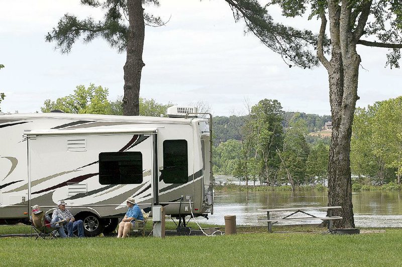
"It's Memorial Day weekend," he said. "There will be a lot of people camping and maybe in harm's way. Creeks can come up in a hurry. Our message is to be careful and know where all the resources are.
"This is not a matter of 'if,'" Fahr added. "It's a matter of how bad it will be."
If the storm system moves farther north than expected, heavy rain will fall into the already flooded Arkansas River basin, Clarke said.
U.S. Army Corps of Engineers is releasing water from dams along the Arkansas River in central and eastern Oklahoma in anticipation of the deluge. Corps officials are also releasing water from Lake Texoma into the river at a rate of 35,100 cubic feet per second, but they expect rain there will cause the lake to rise over its spillways by Monday.
"The Corps is trying to maintain flows on the river [in Arkansas] at 150,000 cubic feet per second," Clarke said. "But it will rise to over 200,000 cubic feet per second early next week because of the additional water."
Normally, the Arkansas River flows at a rate of between 40,000 and 50,000 cubic feet per second.
She said she did not expect flooding would be as bad along the Arkansas River as it was a week earlier, when up to 9 inches of rain fell in the Arkansas River Valley over a four-day period.
Forecasters are also calling for more rain later next week, said National Weather Service meteorologist Jeff Hood of North Little Rock.
"We may see a brief break by mid-next week," Hood said. "But there's another area of high pressure that will build over the state that will bring more rain. If that keeps up, it could be devastating."
Some areas of Arkansas -- especially the western region of the state -- have seen 300 percent to 400 percent above average rainfall for May, he said. However, the first nine days of the month had little rain, and officials actually had been concerned about drought conditions appearing in the state.
"That quickly changed," Hood said.
The National Drought Mitigation Center said Thursday that 98 percent of Arkansas is now considered drought-free. Only Benton County and edges of Carroll and Washington counties were listed as being in "abnormally dry," meaning theareas were deficit of an inch of rain over a 30-day period.
Three months ago, 98 percent of the state was in some form of drought, according to the center based at the University of Nebraska-Lincoln, which evaluates drought conditions across the United States.
"Everything is saturated," Hood said. "When we get more rain, the water has to go somewhere."
State Desk on 05/23/2015