The Northwest Arkansas Regional Greenway debuted May 2 to much fanfare. Some 2,000 came to the grand opening events, and about 300 bikers rode all 36 miles of the trail, which stretches from Bella Vista to Fayetteville.
"I thought that was impressive," says Misty Murphy, trail coordinator for regional planning group the Northwest Arkansas Council.
FAQ
Tanyard Creek Celebration
WHEN — 4-8 p.m. May 30
WHERE — Tanyard Creek Practice Center, 10 Nature Trail Lane in Bella Vista
COST — Free
INFO — 855-5048
FYI
Trail Guide
A good way to look up potential trail routes is through the Northwest Arkansas Council’s trail map system, which debuted May 2 but was offered as a beta version prior to that date. The map allows those looking for a route to sort established trails by several criteria, including the type of trail, the length of the trail and the topography. Included are maps of several popular routes, such as those around Hobbs State Park-Conservation Area, Lake Fayetteville and Slaughter Pen Hollow. The map is available at nwatrails.org. A smartphone application version of the trail mapping system is expected to debut this summer.
But work on the trails is far from over, even if a main arterial route is now complete. On this Memorial Day weekend, What's Up! looks at some opportunities to explore the trails in the area. Many established trails, like the complex of twists and turns and overlooks at Hobbs State Park-Conservation Area, already get a lot of attention and provide great opportunities. Don't forget them. But if you're looking for a new place to run, bike or hike, here are a few options:
Razorback Greenway
THE BACKGROUND -- Let's recap the Greenway first. Pieces of what's now known as the Greenway have existed for several years, including large chunks of the former Scull Creek Trail in Fayetteville. But connecting elements in cities such as Lowell and Springdale were only recently finished, completing the trek from Bella Vista Lake Park to the north and Walker Park in Fayetteville to the south. Many side trails connect to the Greenway and provide welcome detours along the way.
THE BACKDROP -- It's hard to make a generalized statement on a trail that spreads out over so many miles. But know that the trail features a paved surface and a center dividing line, which is helpful in times of heavy traffic. Among the landmarks on the Greenway are the so-called Bridge to Nowhere near the Pinnacle Hills Promenade, the newly revamped Shiloh Square in Springdale and the Lake Fayetteville dam in the northern part of that city. Many miles of the Greenway are tree lined, and there are a few water fountains along the way, but you'll want to bring your own hydration and sun protection if you're out on the trail for any length of time.
Mount Kessler
THE BACKGROUND -- The trails at Mount Kessler are not new; its Trent Trail, for instance, dates back to the 1860s. But city ownership and the public access that comes with it are relatively recent. More than 300 acres of Mount Kessler were purchased by the city of Fayetteville in February 2014. On Mount Kessler, which occupies a space just to the south of Martin Luther King Jr. Boulevard, are miles of mixed-use, soft-surface trails. A trailhead with parking is now open off Cato Springs Road just west of I-49. The trailhead will eventually fold into a regional park planned for the site.
THE BACKDROP -- Runners, hikers and mountain bikers all converge on Mount Kessler. The terrain varies over the course of the more than 8 miles of trails, from wide and flat to technical and hilly. Several overlooks exist on the south side of the Kessler area, and to the north, the popular Rock City area winds through rocks taller than the humans who pass through.
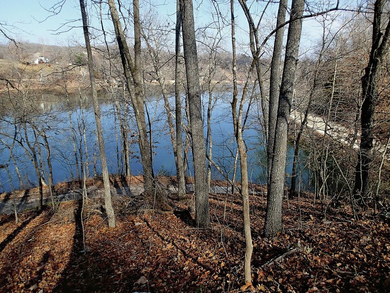
Lake Atalanta
THE BACKGROUND -- Lake Atalanta, just to the east of downtown Rogers, features several miles of new soft-surface trails. Technically still under construction, "people are already all over that trail," Murphy says. The trails are part of the Rogers trail system and eventually will connect to downtown via a paved trail.
THE BACKDROP -- The trail takes pedestrians and riders in several directions, including a loop around the lake. There will also be a bike-specific challenge location called The Railyard. The Lake Atalanta routes trail over a variety of flat surfaces and challenging bike sections.
NAN What's Up on 05/22/2015