FAYETTEVILLE -- The majority of residents live within a half-mile, or 10-minute walk, of the trail system.
An Active Transportation Plan that's making its way to the City Council seeks to increase the majority from 55 percent to 83 percent by 2020 and 97 percent by 2040.
At A Glance
Fayetteville Active Transportation Plan
The city’s plan sets six primary goals under the following vision statement:
“Fayetteville endeavors to develop and promote an interconnected and universally accessible network of sidewalks, trails and on-street bicycle facilities that encourage citizens to use active/non-motorized modes of transportation to safely and efficiently reach any destination.”
• Strive to create an inclusive multimodal transportation system
• Endeavor to build a trail connection within a half-mile of every residence
• Increase the active transportation commuting mode share to 15 percent by 2020
• Work to identify and correct missing bicycle and pedestrian linkages
• Partner with advocates to address bicycle and pedestrian needs
• Earn a League of American Bicyclists Bicycle Friendly Community designation of silver by 2017
Source: City of Fayetteville
Web Watch
Go to the online version of this story at nwadg.com to read a draft copy of Fayetteville’s Active Transportation Plan.
Source: Staff Report
"There are some ambitious goals in there," Matt Mihalevich, city trails coordinator, said last week. "But we felt like it was attainable."
The plan doesn't say when and how trail, sidewalk and bike lane projects will be built, but it lays out broad parameters for how those decisions should be made.
It's the first wholesale update to the trail and sidewalk plan since 2003. At that time, the Scull Creek, Frisco and Lake Fayetteville trails hadn't been built.
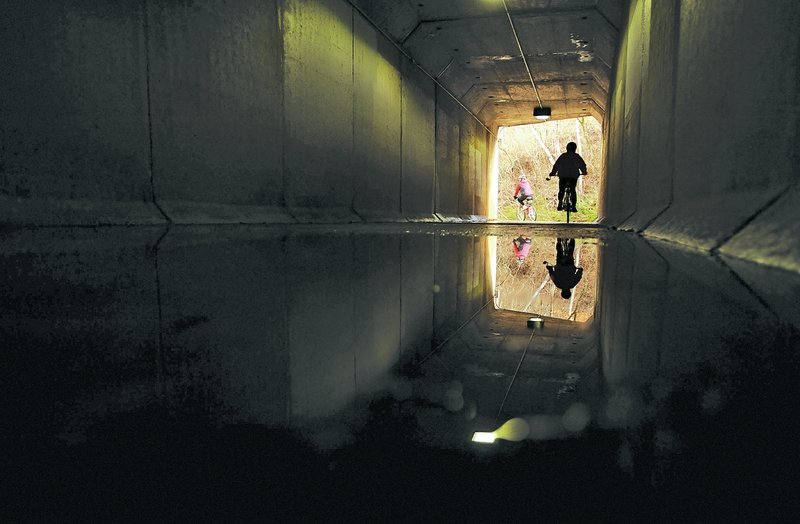
Now, Fayetteville has roughly 40 miles of paved multiuse trails. That includes wider-than-normal sidewalks, such as those on Razorback Road and Garland Avenue.
Planners think 150 miles are needed to complete the city's trail system by 2040.
This year's projects include the Town Branch and Clabber Creek trails. The former will run south of 15th Street. The latter will connect Holcomb Elementary School to neighborhoods near Holt Middle School on the northwest side of town.
Construction on the roughly 2-mile Cato Springs Trail is set to begin in 2016. It will give residents a way to run or ride bikes to a regional park off Cato Springs Road.
City Council members will prioritize projects in later years using input from the Active Transportation Advisory Committee.
The plan sets six broad goals, including its emphasis on building trails within a half-mile of every home.
Another goal seeks to increase walking and biking as primary modes of transportation.
According to U.S. Census Bureau estimates, 7.5 percent of Fayetteville residents commuted to work by foot or by bike in 2013. That's well above state (1.9 percent) and national (3.4 percent) averages, but city officials aren't satisfied. They want to hit 15 percent by 2020.
To achieve that goal, the city must find ways to make active transportation convenient.
"A good example is Crossover Road, where there's brand new bike lanes," Mihalevich said. "I've yet to see anyone use them. We feel like we missed the target there unfortunately."
He said building bicycle and pedestrian paths separated from the street are a point of emphasis in the transportation plan.
An extended Van Asche Drive in north Fayetteville will have a multiuse path tying into the Clabber Creek Trail. Designs for Rupple Road, on the city's west end, include a 12-foot-wide trail that will end at Martin Luther King Jr. Boulevard at the base of Mount Kessler. The trail will set back from the street by a strip of green space.
Other projects could feature bollards, pickets or reflective paint markings on the street surface to keep cars and bicycles separate.
Building separated bike paths is more expensive than simply painting a bike lane symbol -- or "sharrow" -- on a street. On Old Wire Road, for instance, where 10- to 12-foot-wide multiuse sidewalks are planned, right-of-way will have to be acquired from homeowners.
Mihalevich said the separation is needed to give people viable options for getting around by foot or bike.
"I think we're taking the proactive stance to get the infrastructure there, banking on the fact that people will use it," he said. "We've seen it with our trail system. There's no question that if you build it they will come."
Over the past couple of weeks, members of the Parks and Recreation Advisory Board, Advisory Committee and Planning Commission have signed off on the plan.
It's up for review at a March 31 meeting of the City Council's Transportation Committee and then will head to the full council April 7.
Committee members have voiced support for the plan at every step in the process.
"I think it sets a high bar for other local cities to create their plans," Paxton Roberts, a member of the Advisory Committee and executive director of the Bicycle Coalition of the Ozarks, said Wednesday. "I think it will be something good to show and kind of lead the way for what some of the other communities can come up with."
Planning Commissioner Porter Winston said he liked a map accompanying the plan that shows where all 150 miles of trails would be.
"I think it helps people when they're moving around in the city or buying a house or deciding where they're going to put their businesses to have some sort of idea where the city's going," Winston said.
NW News on 03/15/2015