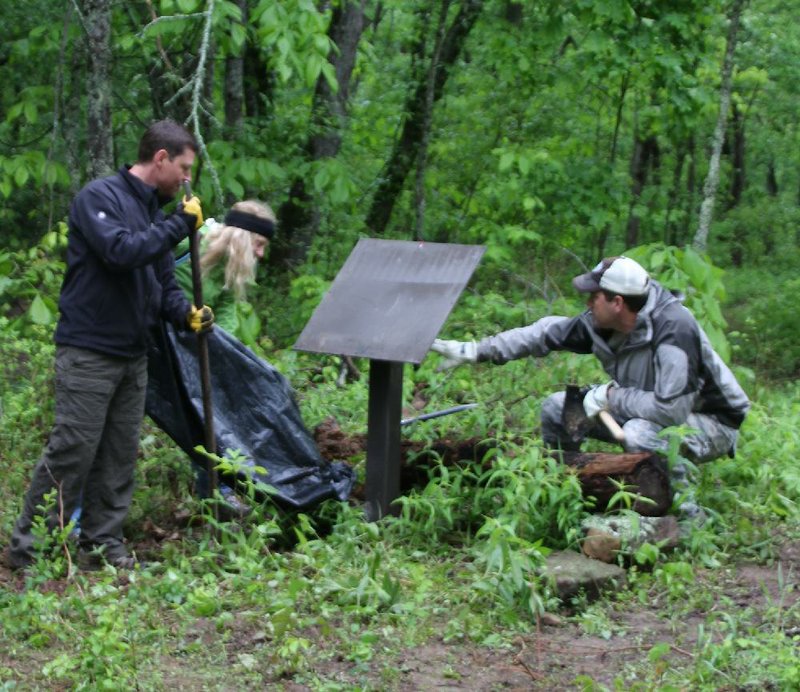
New biking and hiking trails have bunny-hopped into action this spring -- from Lake Ouachita and the Boston Mountains to Woolly Hollow State Park. Now comes word of improvements near the headwaters of the Buffalo River.
First the LOViT Traildogs completed the Lake Ouachita Vista Trail (ActiveStyle, April 21). Then on Saturday -- National Trails Day -- Lake Fort Smith State Park celebrated the opening of the 4.1-mile Boston Mountain Multi-Use Trail for biking and hiking and the 1.8-mile Shepherd Springs Loop, which adds to the Ozark Highlands Trail. Also, the Central Arkansas Trail Alliance and Woolly Hollow State Park dedicated the new 9.2-mile Enders Fault Mountain Bike Trail.
For some time, mountain bikers in Oklahoma, Arkansas and Missouri have been hearing rumors of a proper trail being constructed near the headwaters of the Buffalo River -- one up to the standards of the state's other great trail systems.
June 16, the Big Piney Ranger District of the Ozark-St. Francis National Forest will hold a grand opening for the new Upper Buffalo Mountain Bike Trail with representatives from the International Mountain Bike Association and the Ozark Off Road Cyclists club.
The new system promises 35 miles of carefully constructed mountain biking paths that range from moderate to expert difficulty in a remote area of Newton County.
The ribbon-cutting ceremony will begin at 11 a.m. at the new trail's Knuckles Creek Trailhead, in an old clearing just south of the Buffalo Lookout fire tower along Knuckles Creek Road.
All mountain bikers are invited; a group ride will follow the ceremony.
To reach the trailhead, travel west of Fallsville for 10 miles on Arkansas 16, turning right on Cave Mountain Road. After 3.2 miles, turn right on Knuckles Creek Road (Forest Service 1413). In another 0.9 mile, go left at the Y. The trailhead is another 0.2 mile along this gravel road.
Yes, this is no urban metro trail system. This a backcountry adventure in the Ozark Mountains.
Look for reports on these new trails in future editions of ActiveStyle.
ActiveStyle on 06/09/2014