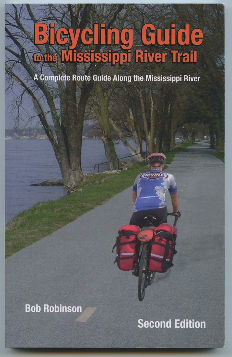
Bob Robinson of Fort Smith has updated his definitive guide to bicycling the Mississippi River Trail.
Definitive - and only.
The Mississippi River Trail is not one continuous path but rather a designated route linking many paved roads and trails, from Itasca State Park in Minnesota to Louisiana and the Gulf of Mexico. For bicyclists who can read a guidebook and follow directions, that’s a 3,000-mile adventure waiting to happen.
A lot has changed in the five years since Robinson wrote his first edition. For instance, the trail has grown by more than 600 miles;
southern Minnesota’s section has become part of the U.S. Bicycle Route System, and tourists’ experiences have inspired little changes in favor of safer roads. Feedback from cyclists in part informs Bicycling Guide to the Mississippi River Trail, Second Edition (Spirits Creek, April 29), 244 pages, $19.95.
Like the first, 200-page edition, the updated 5 ½ -inchby-8 ½ -inch paperback divides the route into chapters by state. For each of the 10 states involved, he describes segments of 80 miles or so. Line-drawing maps accompany each section, as well as turn-by-turn mileage charts, a narrative offering recommended sights to see and area history, and a list of camping or lodging options and bike shops. For some sections,he includes black-and-white photos.
As is the case with another popular series of trail guides, Tim Ernst’s books about the Ozark Highlands and the Ouachita National Recreation trails, section mileage is not intended as a recommended amount to pedal daily. Robinson simply found logical places to end one map and begin the next.
Note that these maps don’t detail every town, hill or cross road in the section; careful tourists would also pack road maps, and hill-fearing tourists would carry topographical maps, too.
THE ARKANSAS BIT
Terry Eastin, executive director of Mississippi River Trail Inc., lives in Fayetteville, and Robinson lives in Fort Smith, but the Mississippi River Trail doesn’t exactly reside in-state. Only about 300 miles of the route pass through Arkansas, a little bite on the eastern border close to the Mississippi River.
But Arkansas’ section will change when the Harahan Bridge at Memphis reopens as a pedestrian and bicycle crossing in 2014. Also, a planning team of cycling advocates and highway officials in spring 2012 tested a cross-state route branching off the Mississippi River Trail that’s been proposed as an addition to the U.S. Bicycle Route System. For details, go to adventurecycling.org and look under “Routes & Maps.”
But for this second edition of the guidebook, the Arkansas section begins where the first edition did, with a reference to the closing miles of the Tennessee chapter. Then Robinson defines three segments: “Arkansas State Line to West Memphis,” “West Memphis to Helena” and “Lake Chicot to Vicksburg, Miss.”
DANGEROUS CROSSING
A highlight is a new, safer way to handle the Arkansas side of crossing the Mississippi River to Memphis. Robinson explains how not to mess with Interstate 55, which doesn’t allow bikes anyway. A.C.A. Section 27-68-107 “Regulation of use” allows local highway authorities to “regulate, restrict or prohibit the use of controlled-access facilities by the various classes of vehicles or traffic,” and in Arkansas, almost every highway entrance is posted to exclude bicycles and other nonmotorized traffic. But in practice, I-55’s old Arkansas & Memphis Bridge is how cyclists travel between West Memphis and Memphis - unless they can flag down a friendly truck driver.
A pedestrian walkway on the old bridge makes the actual crossing less terrifying and illegal than riding the interstate lanes would be, but there’s still a problem getting on and off the span. The Arkansas side is especially awkward, with grass ramps and debris-strewn shoulders. And this is no small problem. On Aug. 12, 47-year-old Pierre McReynolds was struck and killed on the Arkansas approach to the old bridge. McReynolds was biking home to Memphis from his job at McDonald’s in West Memphis.
Robinson’s book outlines a legal and safer way to access the bridge. He expects the route to become much safer when the Harahan Bridge conversion is complete.
Besides keeping tabs on changes along the route by riding sections himself, Robinson posts trail updates and corrections on his website spiritscreek.com; currently the page lists no updates for the second edition. Spirits Creek is his business, created to market the book, which is featured on the website of Mississippi River Trail Inc. and available through national and area booksellers.
Robinson also enjoys hiking and climbing; he’s active with the Ozark Highlands Trail Association and the Friends of the Ouachita Trail. He recently contributed a report on the Ouachita Challenge mountain bike events at Oden to ActiveStyle.
ActiveStyle, Pages 27 on 06/10/2013