FAYETTEVILLE — Anyone who’s ever waited at a bus stop in the blistering heat, freezing cold or miserable rain probably has wished for some way to know exactly when that bus will arrive.
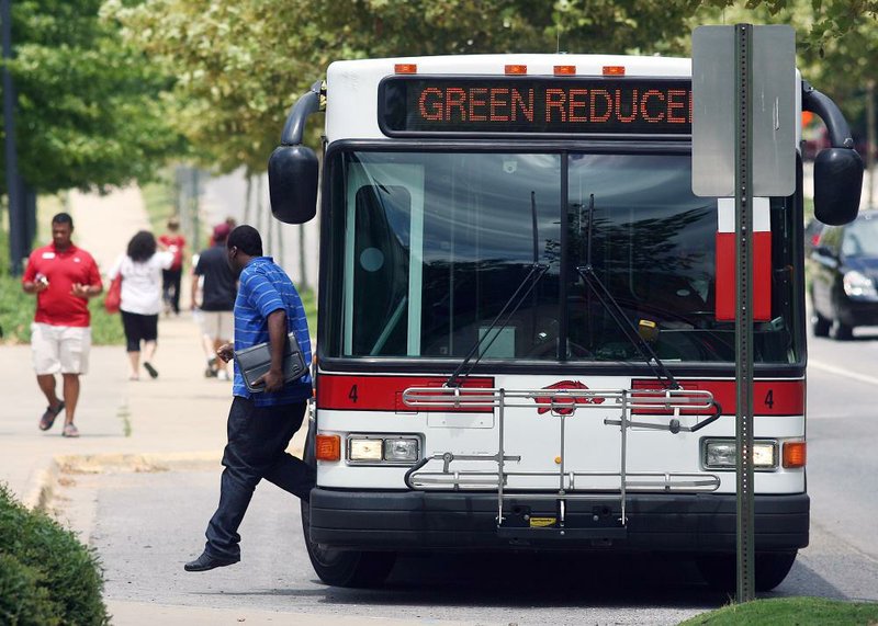
Razorback Transit riders no longer have to endure the chaos of not knowing, at least if they carry smart phones or other mobile devices that connect to the Internet.
A new feature on an existing mobile application will allow the bus service’s riders to track, in real time, a bus on any of its routes, the University of Arkansas at Fayetteville announced Monday.
“These are updating every10 seconds,” said Chris Nixon, director of digital design and development at the campus’university relations office, which worked with UA’s transit and parking department on the project.
“So if you just click on the bus, you’ll see it’ll showyou what bus you’ve clicked on, the next stop and its estimated arrival time,” he said.
GPS technology is what makes the rapid, real-time tracking possible.
The feature also will work on a computer, but is expected to be used more frequently by people on the go.
“We did testing for about six weeks,” Nixon said.
The project was moved from a test server to the public July 2, said Adam Waddell, logistics manager at Razorback Transit.
UA spokesman Steve Voorhies said there had been no formal announcement about the feature until Monday, but people knew about it.
“Word of mouth was driving it,” Voorhies said.
During the fiscal year that ended June 30, Razorback Transit gave 1.9 million rides, Waddell said.
UA has had many requestsfrom students and the public to offer the latest service, he said.
The bus map is not an application itself, Voorhies said, but an addition to the university’s “UARK mobile app,” a multifeatured application that was announced in October 2010.
Students, the UA community and the public can use the app by downloading it, or they can access it via the Internet at, he said.
The bus map feature is at: campusmaps.uark.edu.
“There are some other schools doing this,” Nixon said, especially in cities such as San Francisco, Chicago, New Yorkand Dallas.
“Google has adopted this also, and that’s how these big cities have gotten this, is through Google projects,” he said. “That just wasn’t an option for us.”
It also wasn’t possible to use outside vendors because of the high cost.
So, Nixon said: “We didn’t use Google - we built this ourselves.”
Waddell said the system will help transit officials as well. The GPS recording used for the application will also track the buses’ miles and hours of service.
This will allow Razorback Transit to automate the recording of such data, which used to rely on the bus drivers’ written logs.
Northwest Arkansas, Pages 7 on 07/17/2012